Transportation History
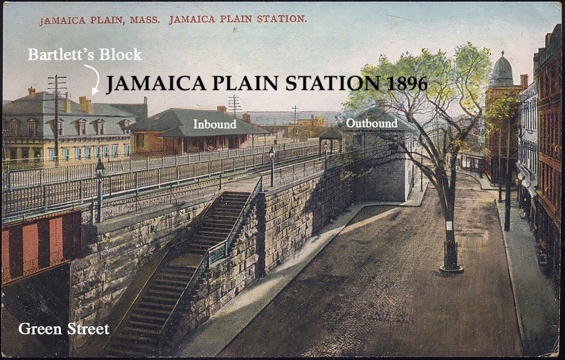
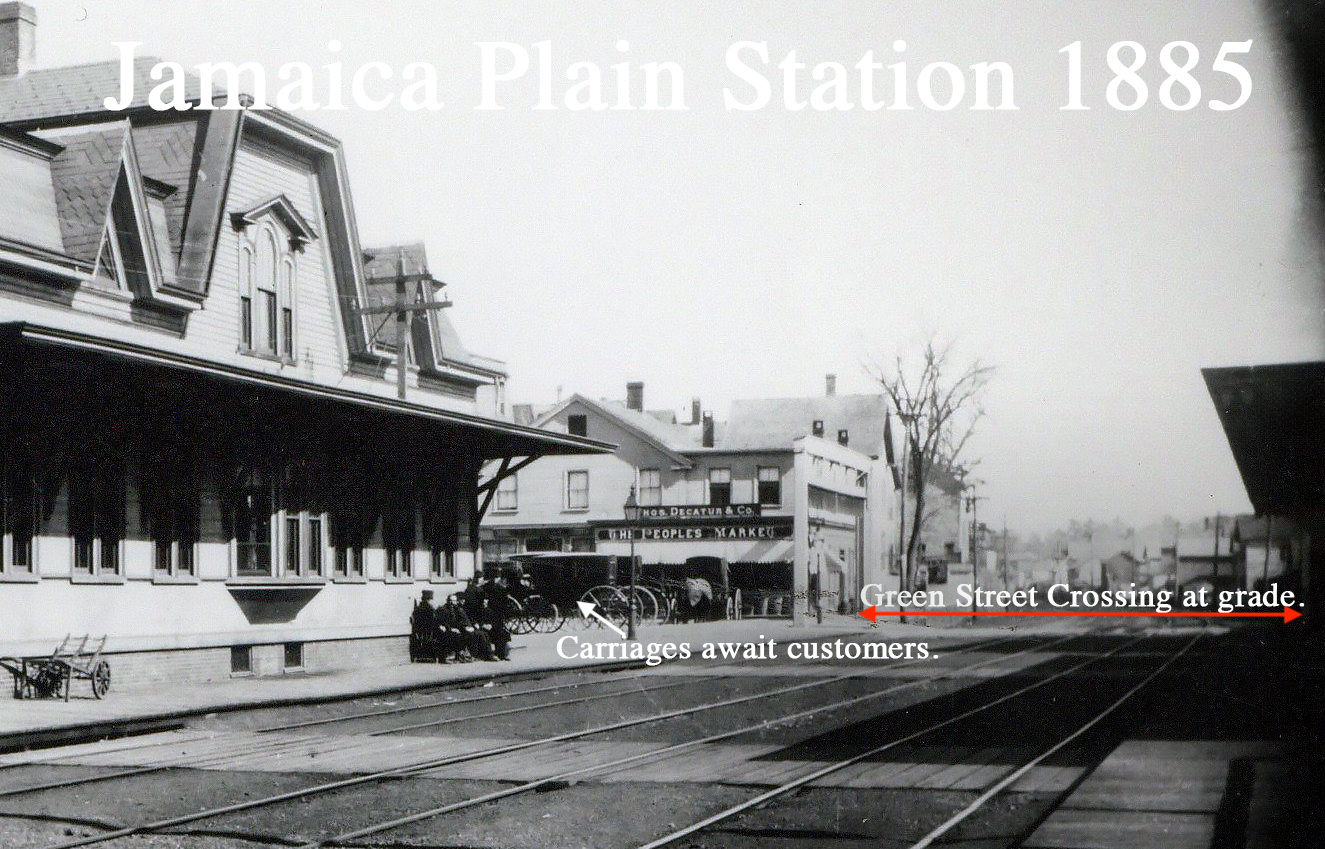
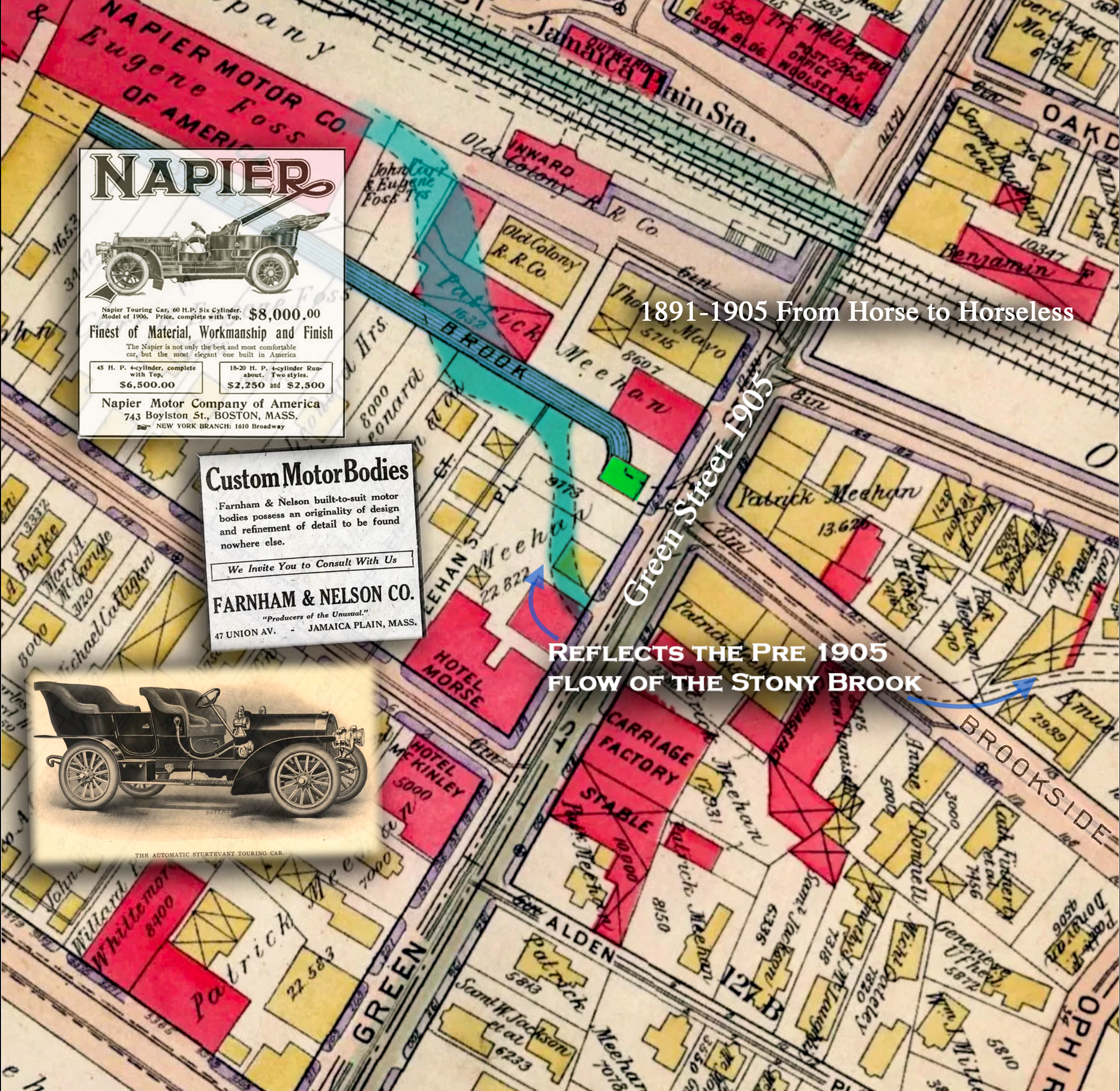
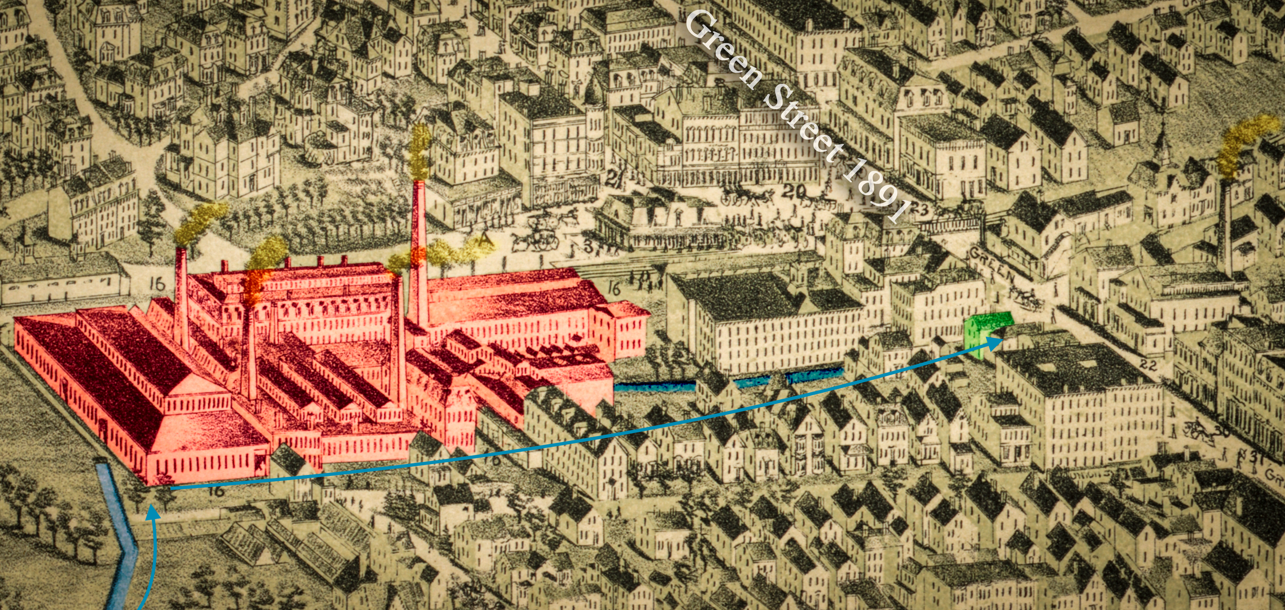
“Jamaica Plain… was formed by the creation of the transportation routes connecting Boston to its southern and western neighbors. These include the Dedham Road (first built in 1663, now Centre Street) and the Norfolk and Bristol Turnpike (now Washington Street). Commercial and residential development followed those two corridors, creating, in effect, two different linear growth patterns. This split was further defined by the presence of the Stony Brook, and eventually the railroad tracks and factories that ran alongside the waterway… This division was solidified by the government sponsored clearing of houses and industrial buildings for the Southwestern Expressway highway building project. This project ultimately failed, and the long, linear, Southwest Corridor Park and the MBTA’s Orange Line were built in its place…Though the development of this land was highly transformational to the area, increased commercial and residential growth remained slow until the 1880s, when electric streetcar service was introduced. The streetcars were twice as fast as the horse cars, carried more passengers, and were relatively cheap; and opened the suburbs as a viable place of residence to large numbers of people who worked in Boston.”
Source: Historic Boston Incorporated, Commercial Casebook: Egleston Square, 2009-2011
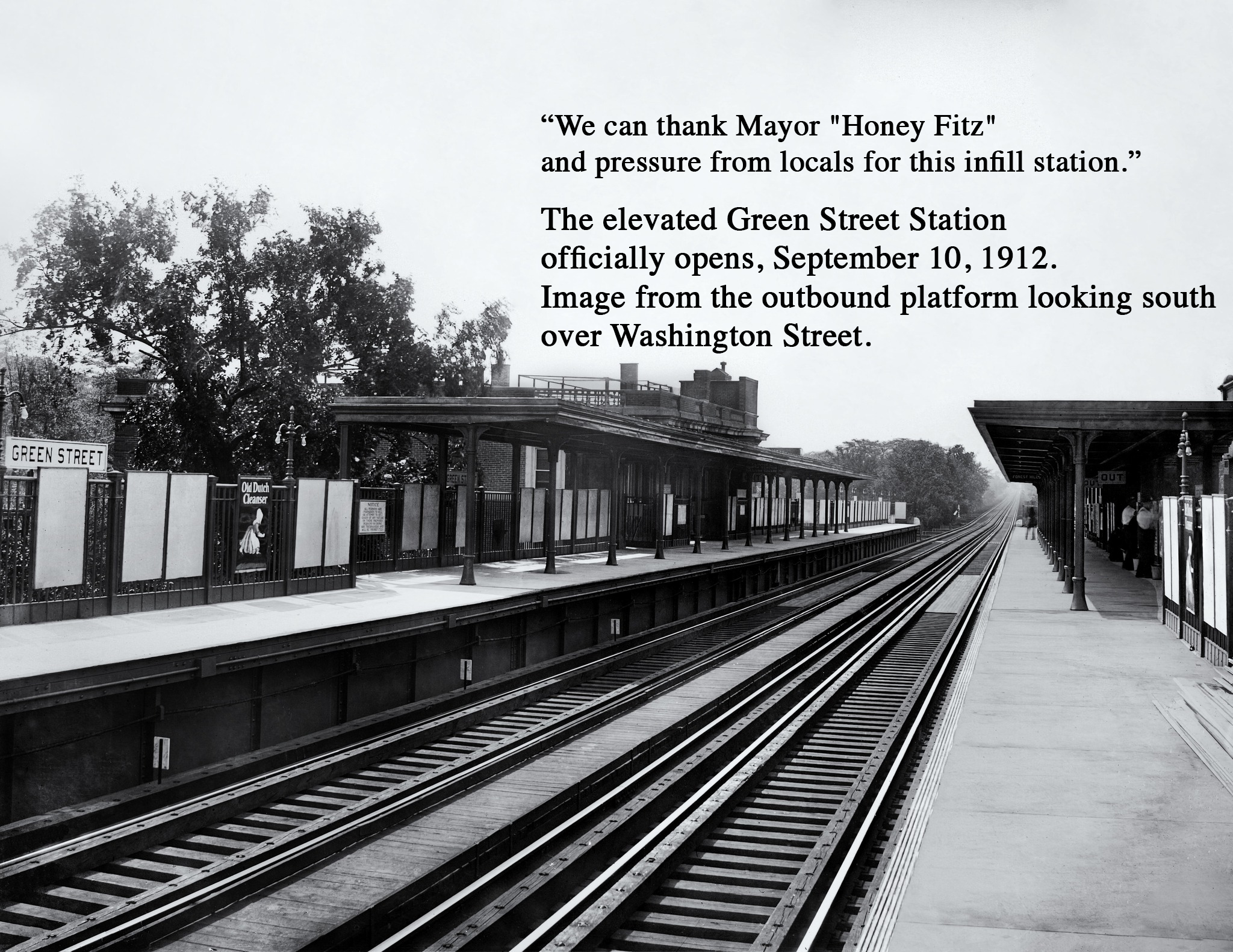
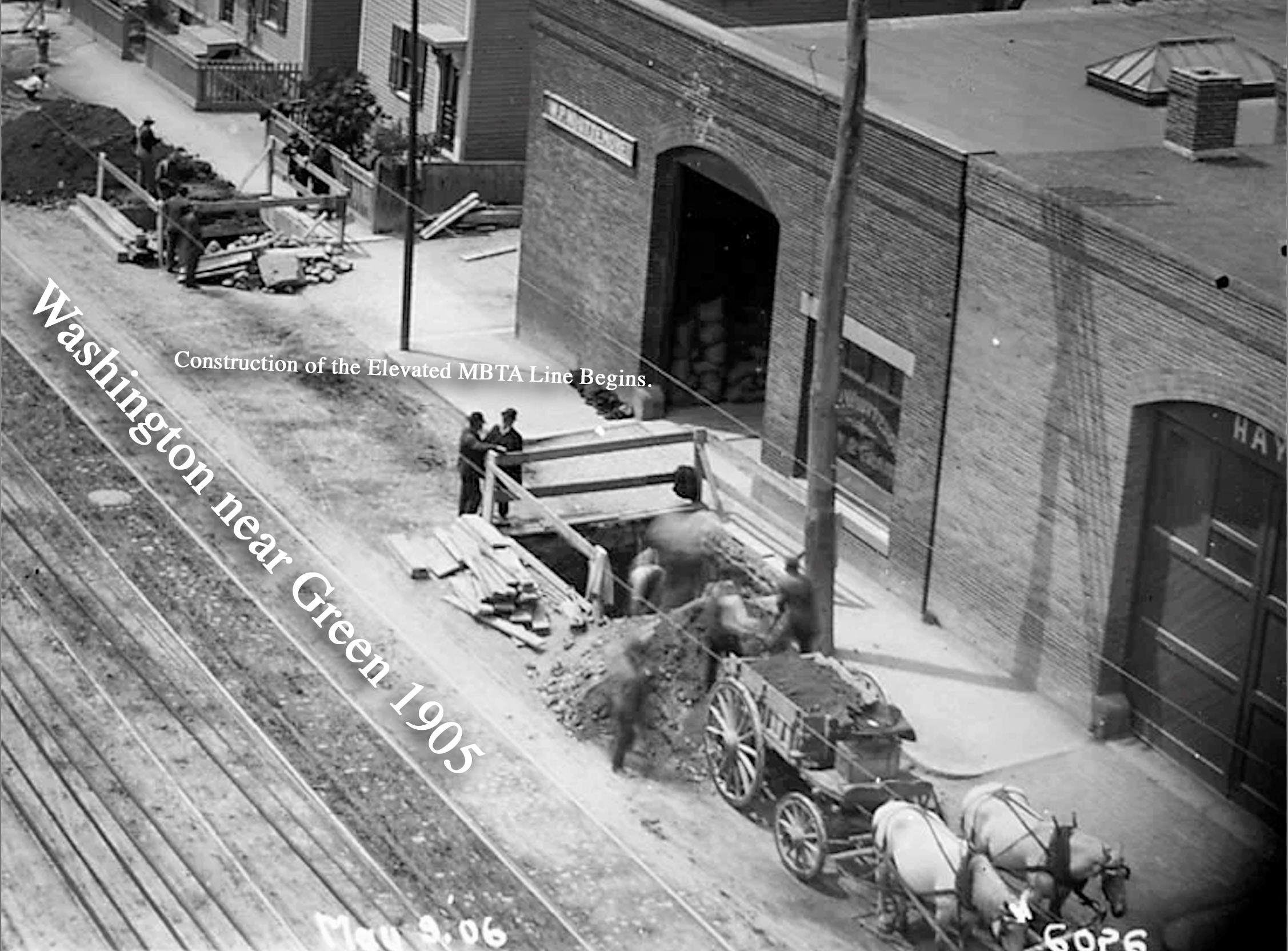
“Additional transportation improvements in Jamaica Plain that would impact development in the Green Street (East) District included the introduction of the horse-car trolley in 1856, and electric streetcar service in 1889, opening Jamaica Plain as a place of residence to large numbers of middle- and working-class Bostonians. Large estates and farmland were sold and subdivided, and Jamaica Plain evolved into a new streetcar suburb with both single-family and multi-family housing. Transportation improvements continued into the early-20th century. Washington Street was chosen for the construction of the Boston's first heavy rail metro line, built primarily to replace radial streetcar lines. An elevated structure, known as the El, was built along Washington Street to carry the metro line (later the Orange Line of the Boston area subway system). Begun in 1908, the El was extended to Forest Hills in 1909, and a station was opened on Green Street in 1912. The El was demolished in 1987 and the Orange Line was moved to the Southwest Corridor, the former right of way for the Boston & Providence Railroad, with a station at Green Street.”
Source: Eric Dray, National Register of Historic Places Registration Form, Green Street (East) Historic District, October 2025